Many thanks to SWLing Post contributor Carlos Latuff, who writes:
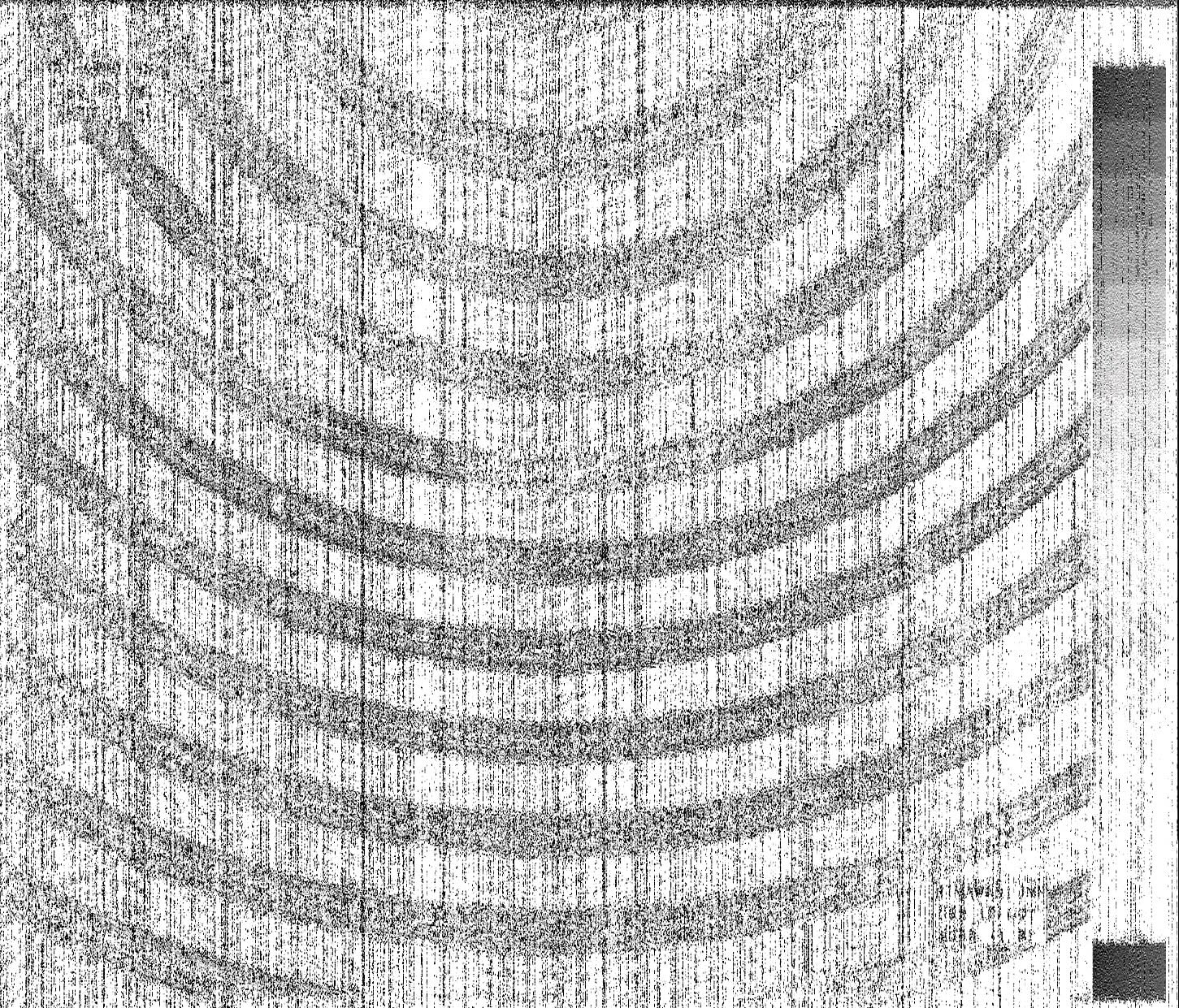
This is the image I received today, October 12th, at 7:10 UTC, in Rio de Janeiro, Brazil, from the Japan Meteorological Agency, via radiofax (13988 kHz). It was supposed to be a satellite image, showing Tropical Storm Nakri (which will become a typhoon in the next few hours). Instead, I received this truncated image. This isn’t a radio transmission/reception error, but rather a problem with the image generation from the Japanese Himawari satellite, something I hadn’t seen before.
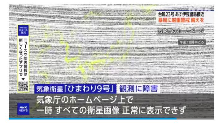
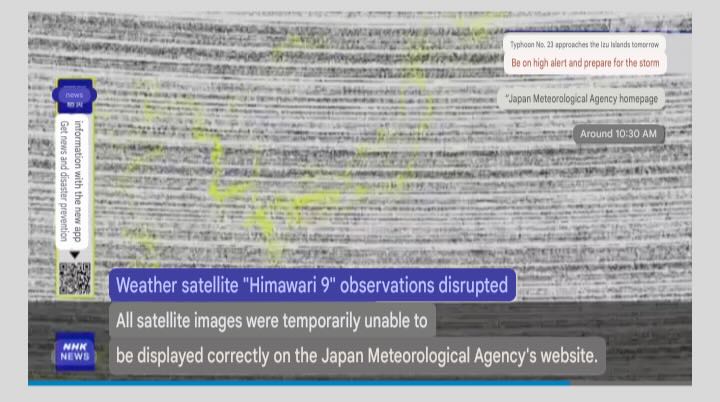
This is the information provided by the Japanese TV NHK website.