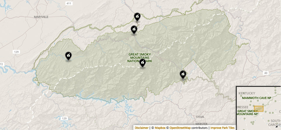
Last week, I attended the W4DXCC convention in Sevierville, Tennessee. The road trip afforded me several opportunities to make NPOTA activations through the Great Smoky Mountains National Park.
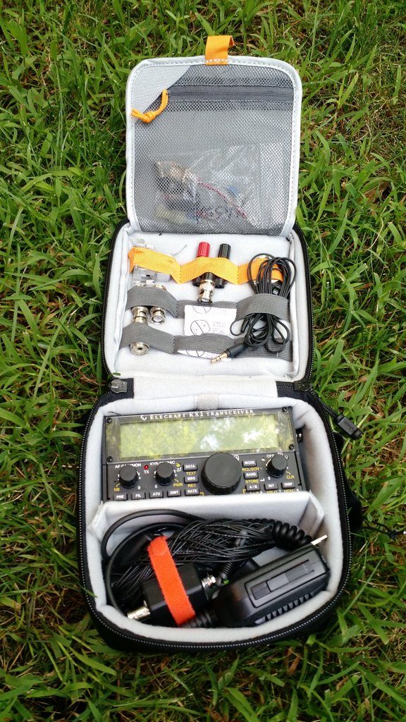
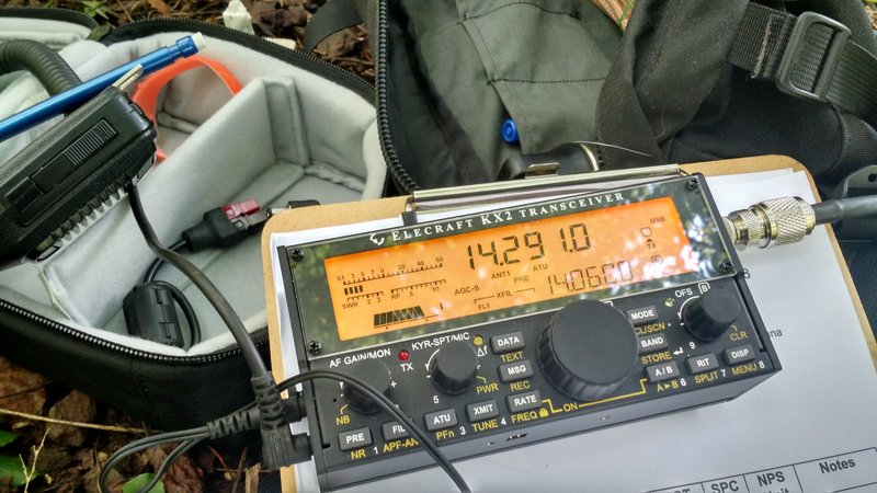
I took my field kit which included the Elecraft KX2, QRP Ranger battery pack (not pictured), and EFT Trail-Friendly antenna.
Thursday, September 22, 2016
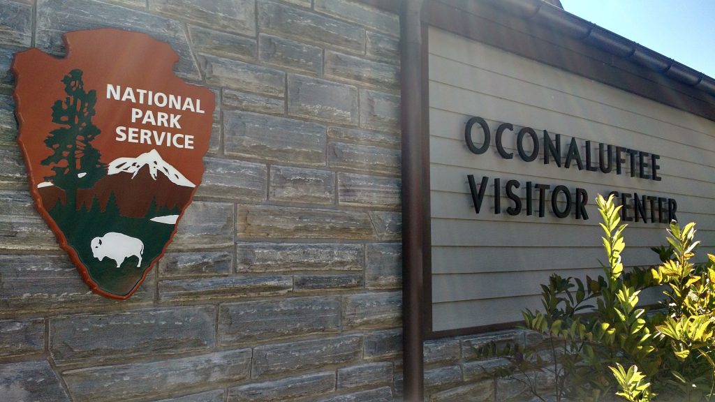
My first stop was the Ocunaluftee Visitor Center in Cherokee, NC, where I had planned the “two-fer” activation of the Great Smoky Mountains (NP26) and the Blue Ridge Parkway (PK01).
First thing I did was ask the park ranger on duty how I could find the footpath to the point where the two parks overlap. Turns out, I had at least a one mile hike ahead of me.
PK01 and NP26
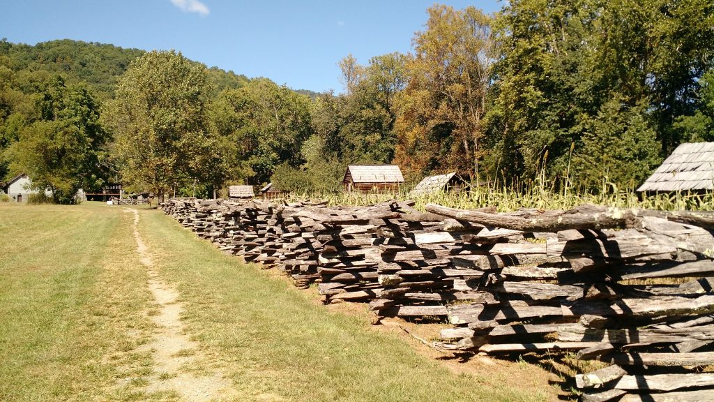
I love hiking, so that wasn’t a problem.
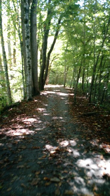
The only problem was I hadn’t accounted for the hike in my plans, so I knew I would be a little late for the scheduled activation time.
When I reached the Blue Ridge Parkway, I ventured down to the river where I found an excellent spot to set up my field kit.
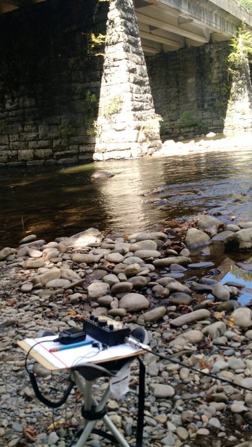
Thankfully, within thirty minutes, I had logged 15 contacts. I quickly packed up and attempted to catch back up with my schedule.
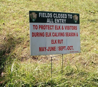
I was grateful the Elk were elsewhere Thursday!
Back at the ranger’s station, I learned that the Ocunaluftee Visitor Center is also another National Park entity: the Trail Of Tears (TR12). I had no time to deploy my station once more, but made a mental note to add it to activations on my return trip.
NP26 and TR01
Next, I hopped in my car and drove to the Newfound Gap parking area where the Appalachian Trail (TR01) crosses the Great Smoky Mountains Park (NP26).
The view there was/is amazing:
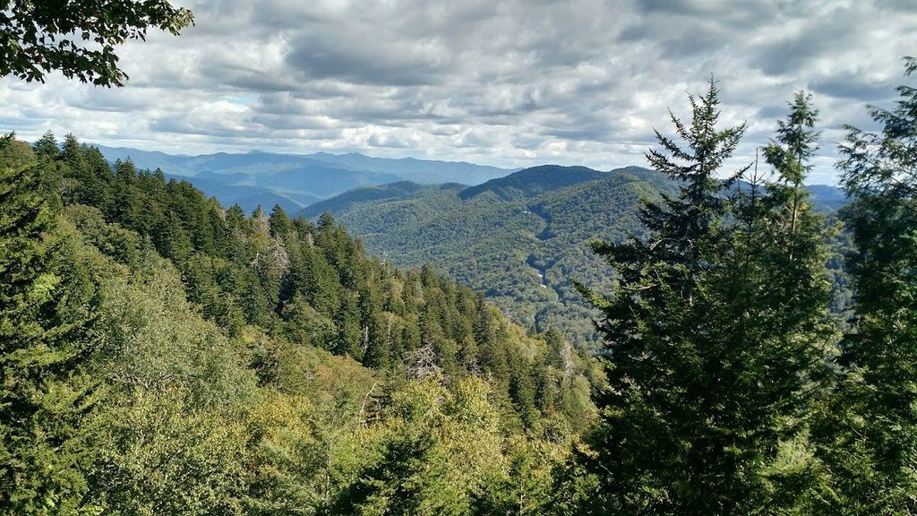
The area was packed with tourists, so I decided to hike up the Appalachian Trail (AT) to escape the bulk of the crowd.
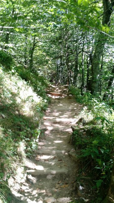 I hiked at least one mile up the narrow and steep AT before finding a suitable spot to set up my gear. It was a tight operating spot, but I managed to hang the antenna and position myself in a way that wouldn’t block foot traffic on the AT.
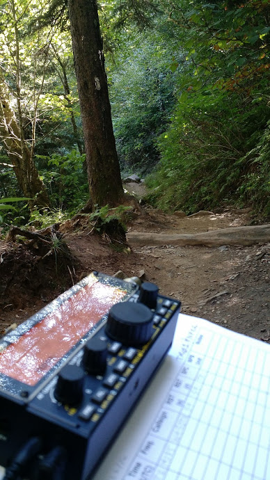
I logged 18 stations in the span of about 45 minutes.
I also took several breaks to answer questions about ham radio from hikers. I was particularly happy that one family took sincere interest in what I was doing and their young kids were fascinated that I was making contacts across the globe where there was no cell phone coverage nor Internet.
I packed up at 20:30 UTC, hiked back to my car and managed to arrive at the conference center in Sevierville in time for dinner with my friends.
Sunday, September 25, 2016
My activations on the return trip, Sunday, included the same locations as Thursday.
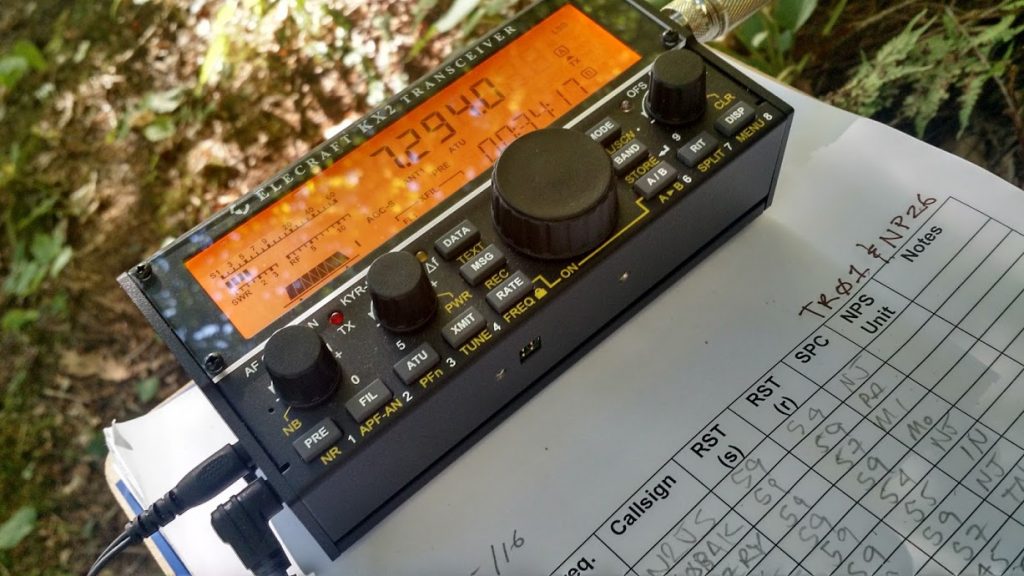
TR01 and NP26
Instead of heading north on the Appalachian Trail, I decided to head south. I was running late to activate the site and knew if I headed north I’d have a long hike ahead of me. Once again, there were a lot of visitors at the site–many were there for a Sunday morning hike and were making their way (quite slowly) north. The southern route had no foot traffic at all, so I headed south.
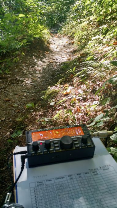
I found a suitable site to set up radio, but only because the trail was so quiet I could sit in the middle of it. The entire time I operated, I only encountered one hiker who was absolutely amazed I was making contacts across the continent when he hadn’t had cell phone reception in days.
I logged 14 contacts in 45 minutes.
NP26 and PK01
Next, I headed back down the mountain to the Ocunaluftee Visitor Center to the same site where I set up before.
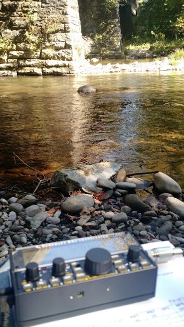
Unlike my Thursday activation, contacts trickled in very slowly. It took over one hour to log 11 contacts. Propagation was very strange: the only stations I worked on the 20 meter band–a total of four–were located in Idaho and Slovenia.
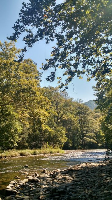
You can *almost* see my antenna hanging from its first location.
Once, I even re-deployed my antenna, thinking that may help. I managed to raise the entire 35′ length into an ideal tree on the bank of the river. It was completely vertical with no slope. That did, perhaps, help snag my final two contacts.
TR12
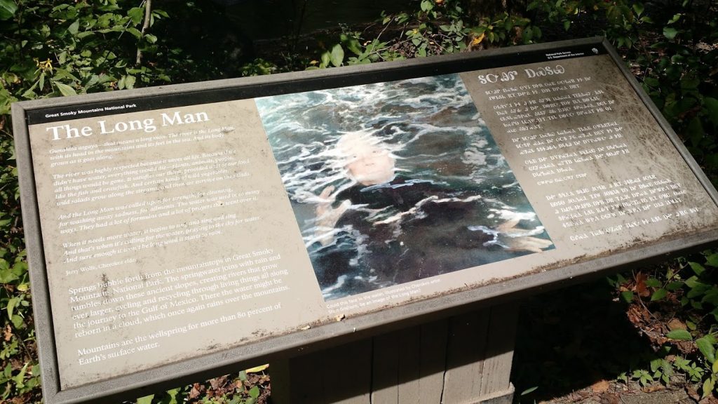
Despite the fact I was running late and I had struggled to make the minimum ten QSOs required for the NP26/PK01 activation, I decided to also attempt TR12 (Trail of Tears).
I hiked back to the Ocunaluftee Visitor’s Center and found a quiet spot, once again, near the river. I was happy with my operating location and the fact the antenna deployed with no problem.
Sadly, though, this activation was not meant to be. Even with multiple spots on the DX Cluster, I stopped operating after having only worked four stations in 45 minutes. If I hadn’t been on a schedule, perhaps I would have stayed another hour.
I didn’t let this bother me, though. I knew the TR12 activation would be a gamble and I was happy to have provided four NPOTA chasers with another NPOTA catch for the day!
All in all, I worked a total of 64 stations en route to and return from the W4DXCC conference. I call that a success, especially since I was able to enjoy some excellent hiking, scenery, weather and I even had a few opportunities to promote ham radio to the public. Of course, I feel like each time I do one of these activations, it also hones my emergency communication skills.
W4DXCC
Speaking of the W4DXCC, the conference was amazing as always and I’m happy to have been a part of it. For the second year in a row, we hosted a “Ham Radio Bootcamp”–a day-long tutorial on all aspects of ham radio. Once again, it drew a large crowd.
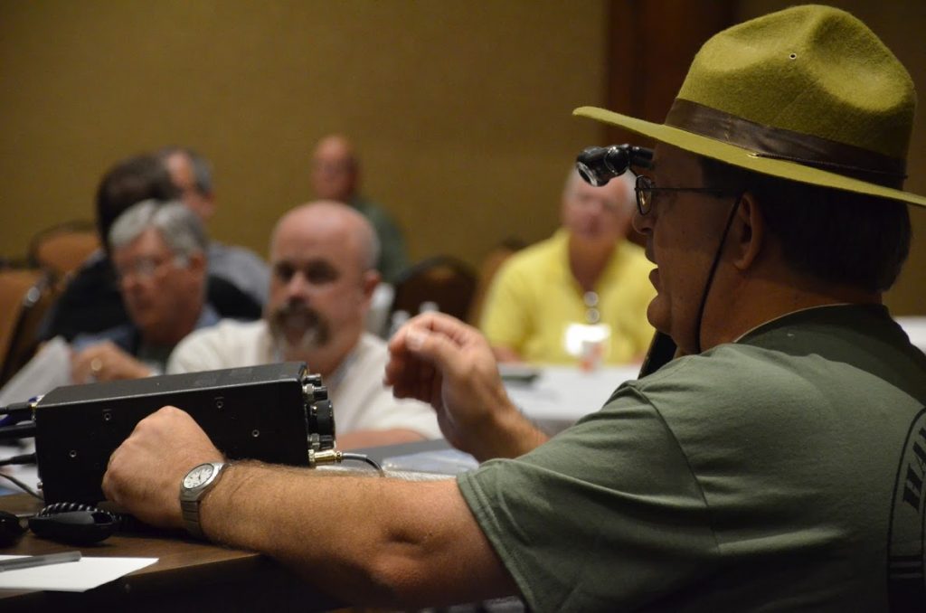
Vlado (N3CZ) demonstrating the IC-7300 functions and features at the Ham Radio Bootcamp.
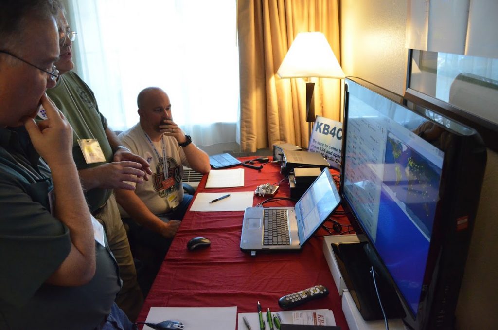
Each year, the convention operates as KB4C in a dedicated radio room. This year, we had two IC-7300 transceivers on the air simultaneously.
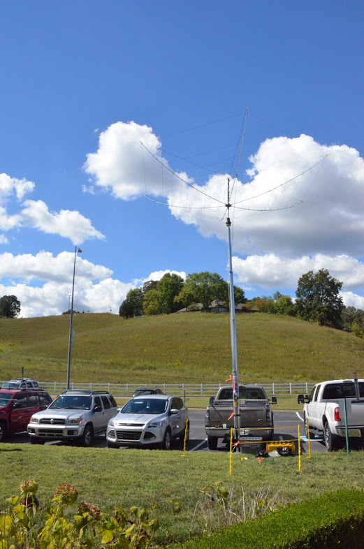
We had at least three antennas available including this excellent hex beam.
If you’re into DXing, contesting, or you’d simply like to make some new friends in the community, I would encourage you to put the W4DXCC conference in your calendar for 2017!

 This also affords me the opportunity to activate two “two-fers” for the