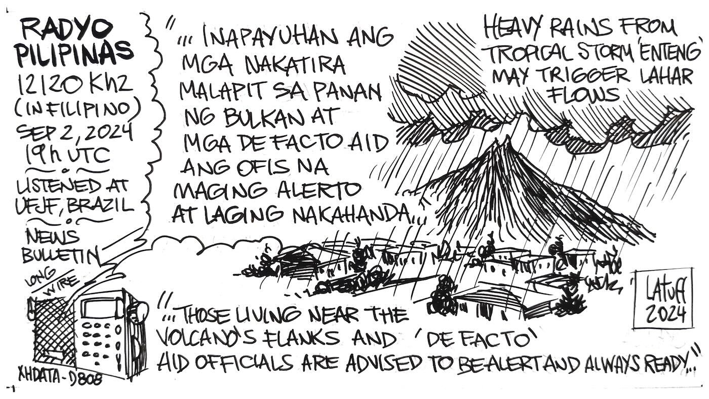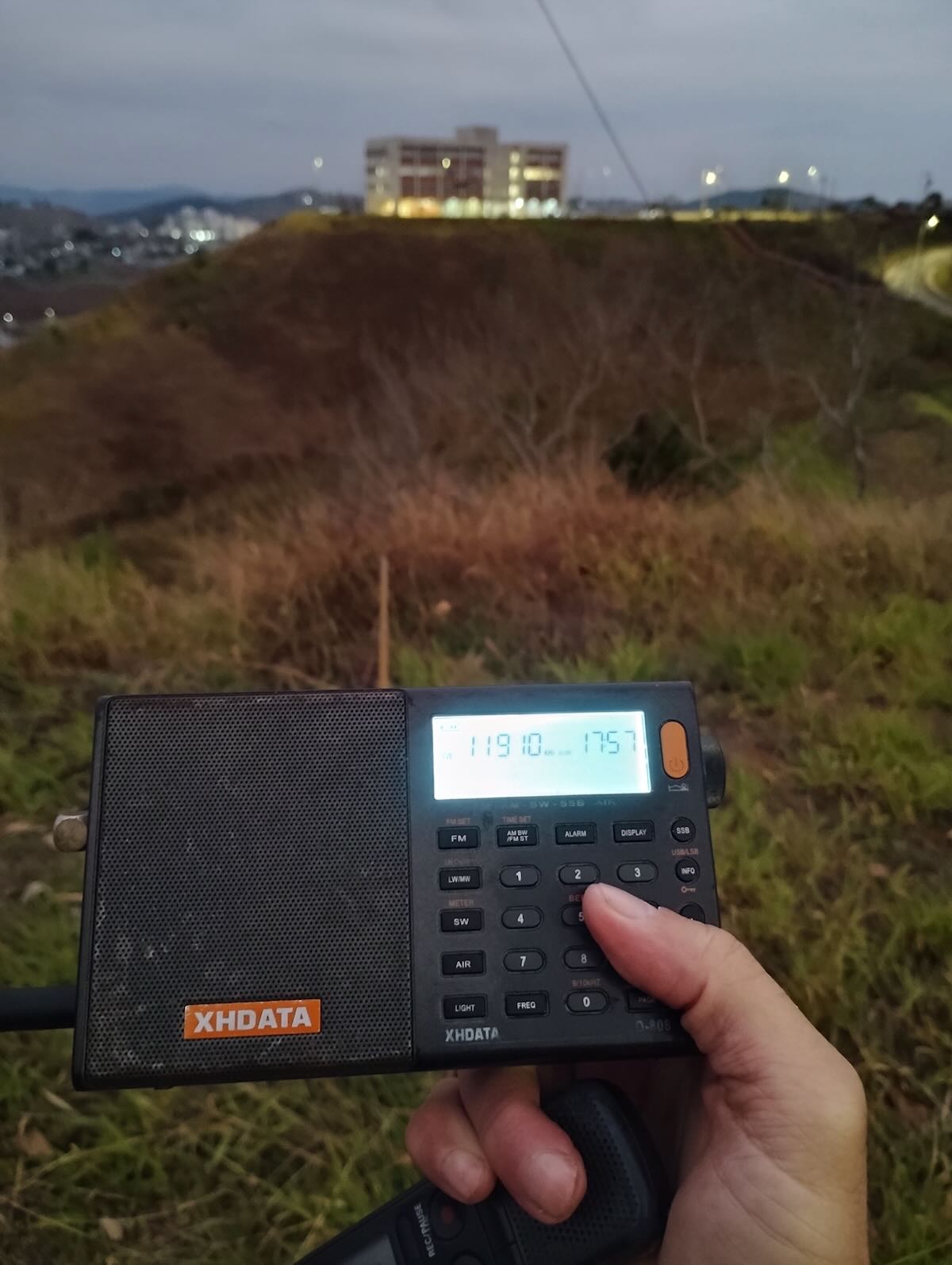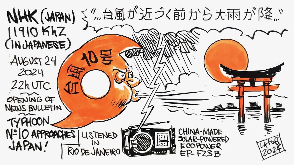
Many thanks to SWLing Post contributor and noted political cartoonist, Carlos Latuff, who shares his radio log art of a recent Voice of Vietnam broadcast.
Carlos notes:
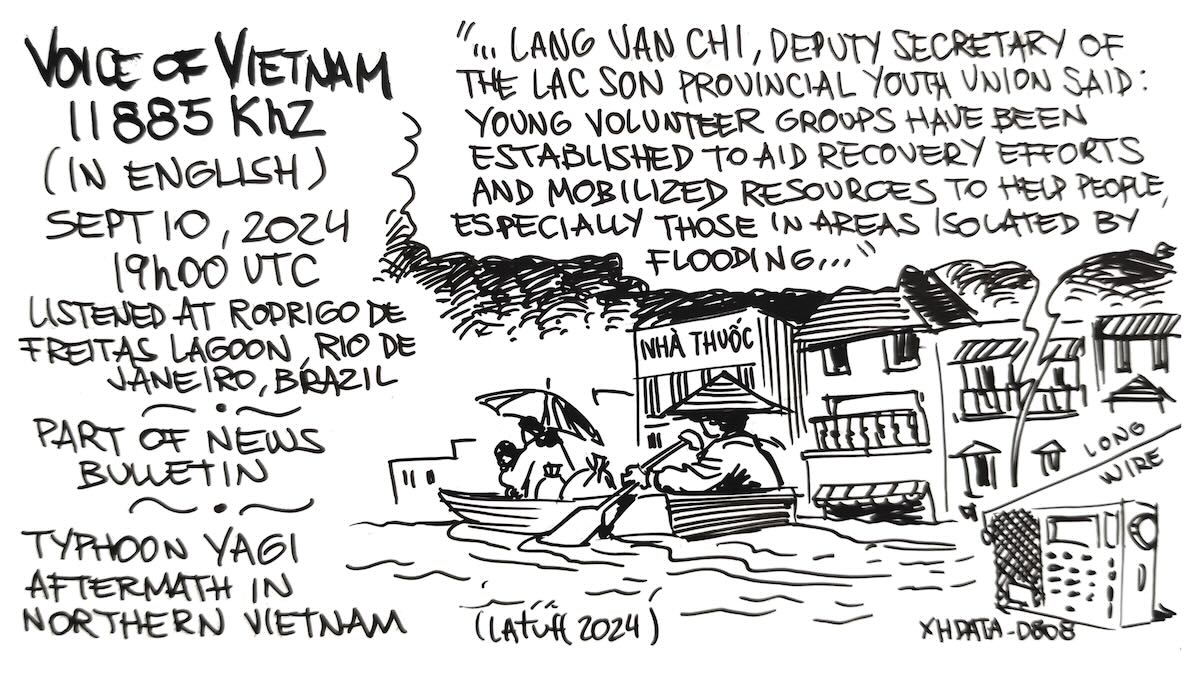
Part of news bulletin from Voice of Vietnam, right from Hanoi, about typhoon Yagi’s path of destruction in Northern Vietnam. Listened in Rio de Janeiro.
“…The Vietnam Fatherland Front on Tuesday launched the campaign to support people affected by Typhoon Yagi, the most powerful to hit Asia this year. According to the Ministry of Agriculture and Rural Development, as of 1 p.m. on Tuesday, Typhoon Yagi and its aftermath had left 146 people dead or missing and caused devastating damage to nearly 50,000 homes, as well as crops and livestock. In his address, VFF President Do Van Chien called on people in Vietnam and abroad to join hands to help people in storm-hit areas quickly recover.
Donors pledged more than US$16 million at the launch ceremony, which was attended by Party General Secretary and President To Lam. The same day, officials and employees of the Government Office and the Office of the Party’s Central Committee participated in a donation drive to aid the affected communities. Agencies, organizations and individuals across the country are contributing cash and in-kind goods and services, Lang Van Chi, Deputy Secretary of the Lac Son Provincial Youth Union, said: Young volunteer groups have been established to aid recovery efforts and mobilize resources to help people, especially those in areas isolated by flooding…”