Many thanks to SWLing Post contributor, Kostas (SV3ORA), for sharing the following guest post which originally appeared on his radio website:
TAP: A Morse alternative mode for the HAM, with no need for training
by Kostas (SV3ORA)
Introduction
The thinking of this new mode, came to me when someone posted that he quit the HAM hobby because he did not learn Morse code and he did not want to use computers to do the job for him. Some time I faced a similar situation and I believe many do one day or the other. So I thought that I had to do something about it. It is too bad people quit the hobby or missing the fun of the KEY operation, because of the obstacle of Morse code. No matter what CW operators that already learnt Morse might say, the fact is that Morse requires patience, continuous practice and most importantly time. After all military had dedicated courses on it in the past, so it must be more than true. These are things not all people can, or are willing to do. An alternative that gives the same pleasure like Morse and operates with the same techniques, but requires no training and time must exist. Meet the TAP mode!
Mode description
This mode has its roots to ancient Greece. You may read the article in Wikipedia for more information on the Polybius square. A form of it, was used in the previous century in was times, for in-prison communication. A modified version is presented here by me, that fits perfectly the HAM radio. This modified TAP code scheme, is dedicated to HAM radio and includes the numbers and the letter “k”.
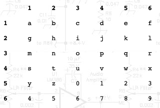
This is all you need to know in order to send and receive TAP. It is easy to follow and easy to generate on paper. This is a 6 by 6 table, with the first six alphabet letters placed in the first line, the next six in the second and so on. After the alphabet ends, the numbers are put in the same manner. Thats it!
Sending TAP
It is better to describe the sending procedure with an example.
To send the letter “i” you send two dots (“i” is on the second row), wait a bit and then send 3 more dots (“i” is on the third column). In other words, you first count the number of rows where the letter exists, then wait a bit and then you count the number of columns where this letter exists. Before sending the next letter, leave a bit of more time, so as to distinguish that this is a separate letter and not the time between rows and columns. Thats it!
Try it now without any transceiver! Write the TAP table on a piece of paper (you do not need to write the row and column numbers), or read it from the website. Tap on your desk with your finger and send some words to the colleague near you. See how easy it is?
There are actually four spacings involved. The spacing between adjacent dots, the spacing between the row and the column, and the spacing between letters and the spacing between words. Follow the PARIS spacing, like Morse code does, if you intent to write a software for it. However, in practice, manual operators would need to consider just two spacings, the spacing between rows and columns and the spacing between letters. These are the most important. Just make the one bigger than the other and communication should be achieved without problems.
Receiving TAP
It is better to describe the receiving procedure with an example.
To receive the letter “i” you listen two dots (“i” is on the second row), then a short scilence time and then listen 3 more dots (“i” is on the third column). In other words, you first listen for a number of dots (this is the row where the letter exists), then sense the scilence and then you listen for the next number of dots (this is the column where the letter exists). The scilence time between two letters is greater than the scilence between rows and columns and this can be distinguished easily. Thats it!
Try it now without any transceiver! Write the TAP table on a piece of paper (you do not need to write the row and column numbers), or read it from the website. Put your coleague to sent you some TAP words and you should be able to decode them by counting the rows and columns in the TAP table.
A programmer that may need to implement the mode in software, should follow the PARIS spacing to distinguish the different parts of the code, as described above.
TAP advantages
Here are some advantages I can think, of TAP in comparison to Morse.
- No training is required, start using it imediatelly, even by non-HAM people and kids. This probably is the greatest advantage and this is why most would want to use TAP in HAM radio.
- The encoding/decoding square can be drawn easily, it is very easy to remember how to draw it.
- Decoding by hardware or software means, becomes very easy, as there are no dashes to account for. Dot lengths can be anything and can be even varying from dot to dot, it does not matter.
- All you count, is how many ON-states (taps) there are and the rough timing between them, to decide between a row-column or a letter. Because of this intependency from dashes, the code can be used on any means, radio, light, pipes, walls, desks etc.
- If dot lengths are kept very short (up to the point where channel noise allows it), RF amplifiers can be pushed beyond their limits (due to limited duty cycle), or otherwise run cooler within their limits. There are some mediums, like light communication, where bright pulses of light can be produced easily (eg. xenon tubes), but not kept for duration and TAP is ideal on them.
TAP disadvantages
Here are some disadvantages I can think, of TAP in comparison to Morse.
- Speed limit issues probably. TAP beginners achieve for sure faster speeds than Morse beginners. However, a trained Morse HAM, can achieve greater speeds with Morse.
- Learning the table by heart, can be tricky in comparison to Morse. However war prisoners had tricks to learn by heart the 5×5 TAP square.
- Not known (yet) among the HAM community, like any new mode. Why not change that by let HAMs know about it?
TAP common points to Morse
There are some common points shared between TAP and Morse code.
- Both are relatively slow modes.
- Both are ON/OFF keying modes, efficient class-E amplifiers can be used.
- Both share the same channel bandwidth and noise-related characteristics.
- Both are human-oriented, although TAP does not require training. Both share the PARIS timing when implemented in software.
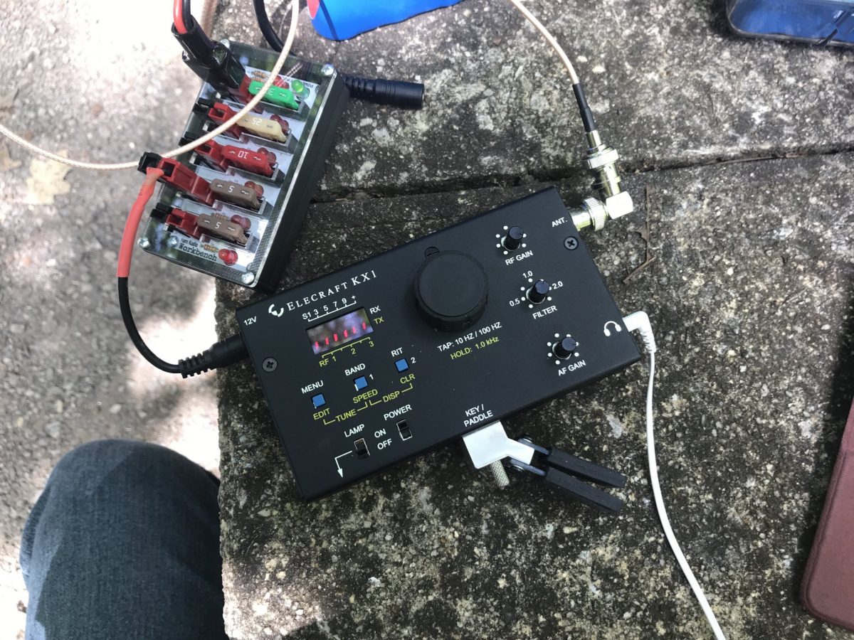
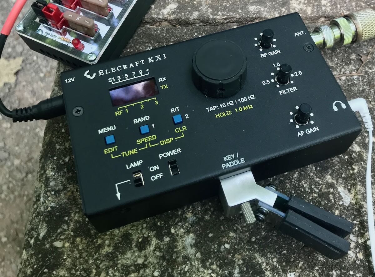
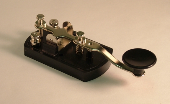
- Both allow for the “joy of the KEY”. You send TAP with the same equipment as Morse.
- Both are ideal for homebrew QRP, due to efficiency and transceivers simplicity.